|
|
Les
Rochers de Naye, Switzerland
- Part 1
|
|
|
|
|
|
Les
Rochers de Naye, Switzerland
- Part 1
|
|
|
|
|
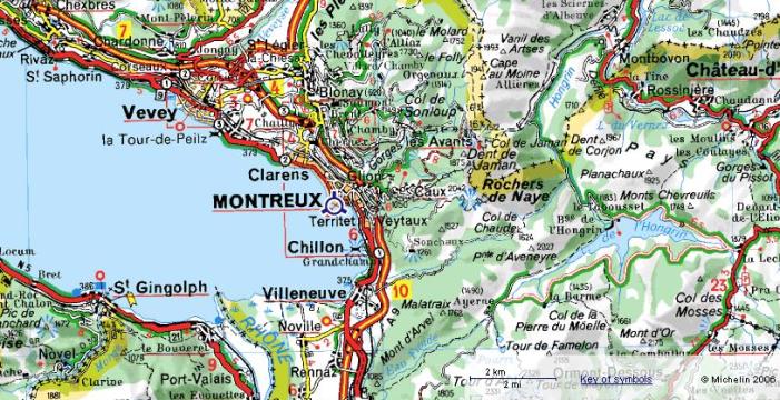
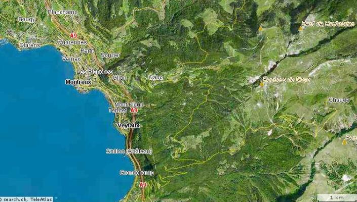
Region Map |
|
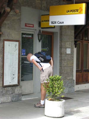
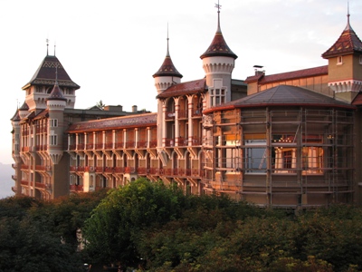
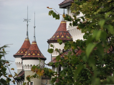
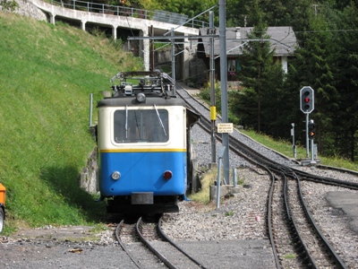
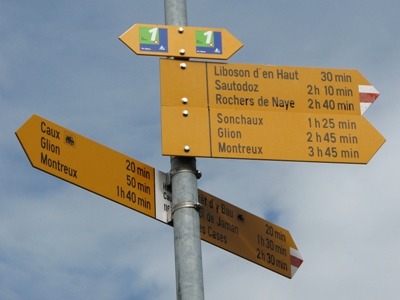
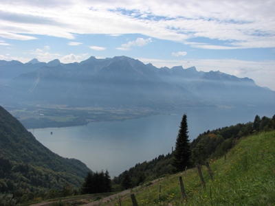
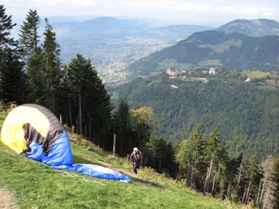
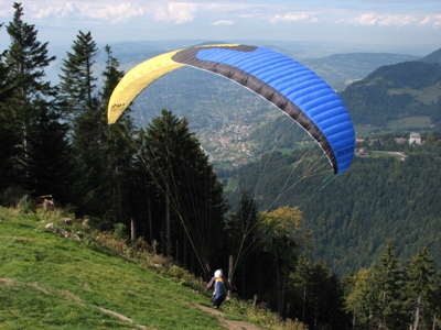
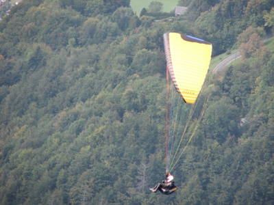
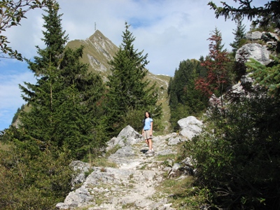
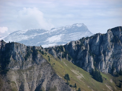
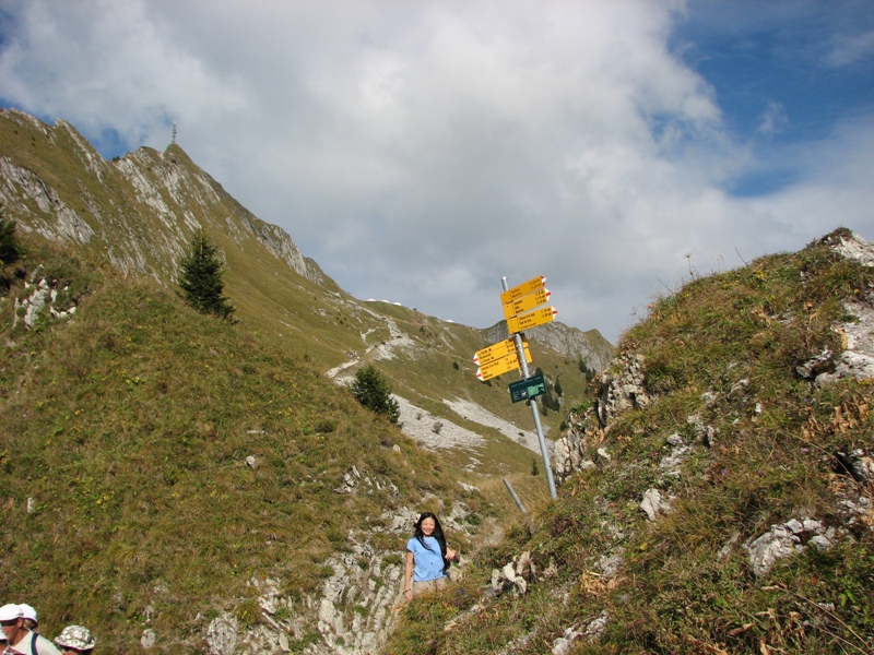
At the eastern side of Lake Geneva, above the beautiful Swiss riviera city of Montreux, are the villages of Glion and Caux. Hikers begin their journey from one of these villages up to Rochers de Naye. For those less prepared for the 2:45 hour hike from Caux, for a one-way fare of CHF 25, one can take the rack railway up to the peak in 27 minutes and hike down from there. On a clear day, one sees the jet d'eau of Geneva as well as the Eiger (in the Interlaken region) and Mont Blanc (in France).
|
|
Click below to return to the Main page or the Photos page
Copyright © 2007 by Kattychick.com. All Rights Reserved. Last updated: September 24, 2007 |